Your Construction Technology Provider in Utah
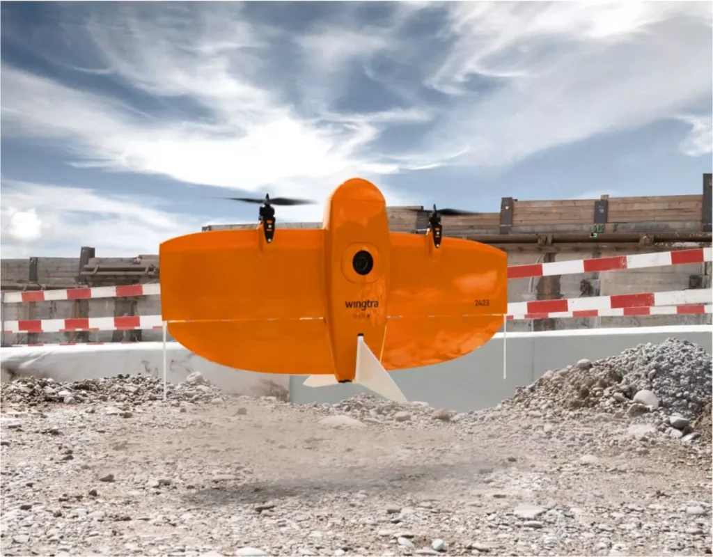
Fast and accurate survey data every time.
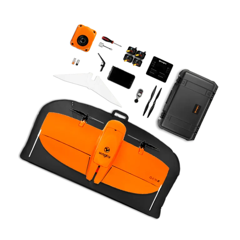
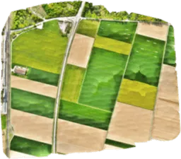
WingtraOne is an easy-to-use drone that delivers consistent, high-quality survey data faster and at a lower cost than other surveying tools.
![]()
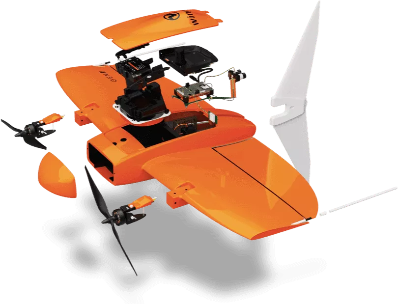
WingtraOne RGB61
61 MP camera
310 ha (766 ac)
120 m (400 ft) altitude
![]()
Other fixed-wing drones
20 MP camera
70 ha (173 ac)
57 m (187 ft) altitude
![]()
Multicopter drones
20 MP camera
8 ha (20 ac)
44 m (144 ft) altitude
![]()