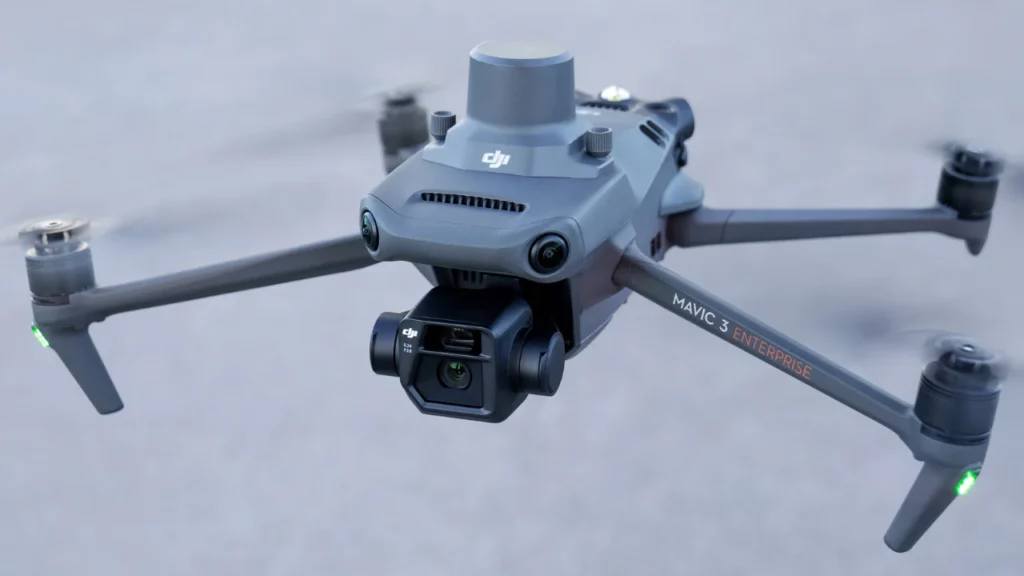
SITECH Intermountain offers the most comprehensive portfolio of construction technology systems, services, and solutions available to the construction markets. One of our most exciting offerings is Unmanned Aircraft Solutions. SITECH Intermountain UAS Solutions are designed to dramatically reduce time and cost while providing superior data and service, all in the safest application.
Reduce Time: Collect more data much faster than traditional survey & quantity measuring methods.
Reduce Cost: SITECH Intermountain offers several UAS solutions spanning a wide range of applications.
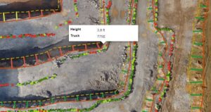
Superior Data: Analyze more detailed topography data than traditional survey & quantity measuring methods.
Superior Service: Dedicated Pilots and Support Specialists guarantee quality results and rapid response times.
Safest Application: Avoid rugged, hard to get to and hazardous terrain.
Products We Sell
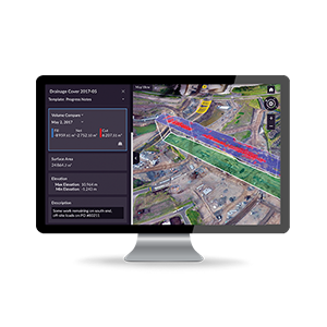
Trimble Stratus
Aerial Data into Business Intelligence
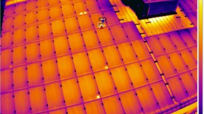
Trimble Stratus software helps civil contractors use drones to map, measure and share accurate information about their worksites and assets. With Stratus, you can make quicker decisions, avoid mistakes, and grow profits by always having the right information on hand.
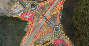
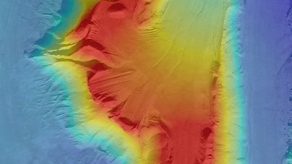
Propeller Platform makes 3D site surveys easy for everyone to use from their browser, anytime, and the AeroPoints make it accurate. A global leader in cloud visualization and analytics solutions, we give worksites the power to measure and manage themselves.